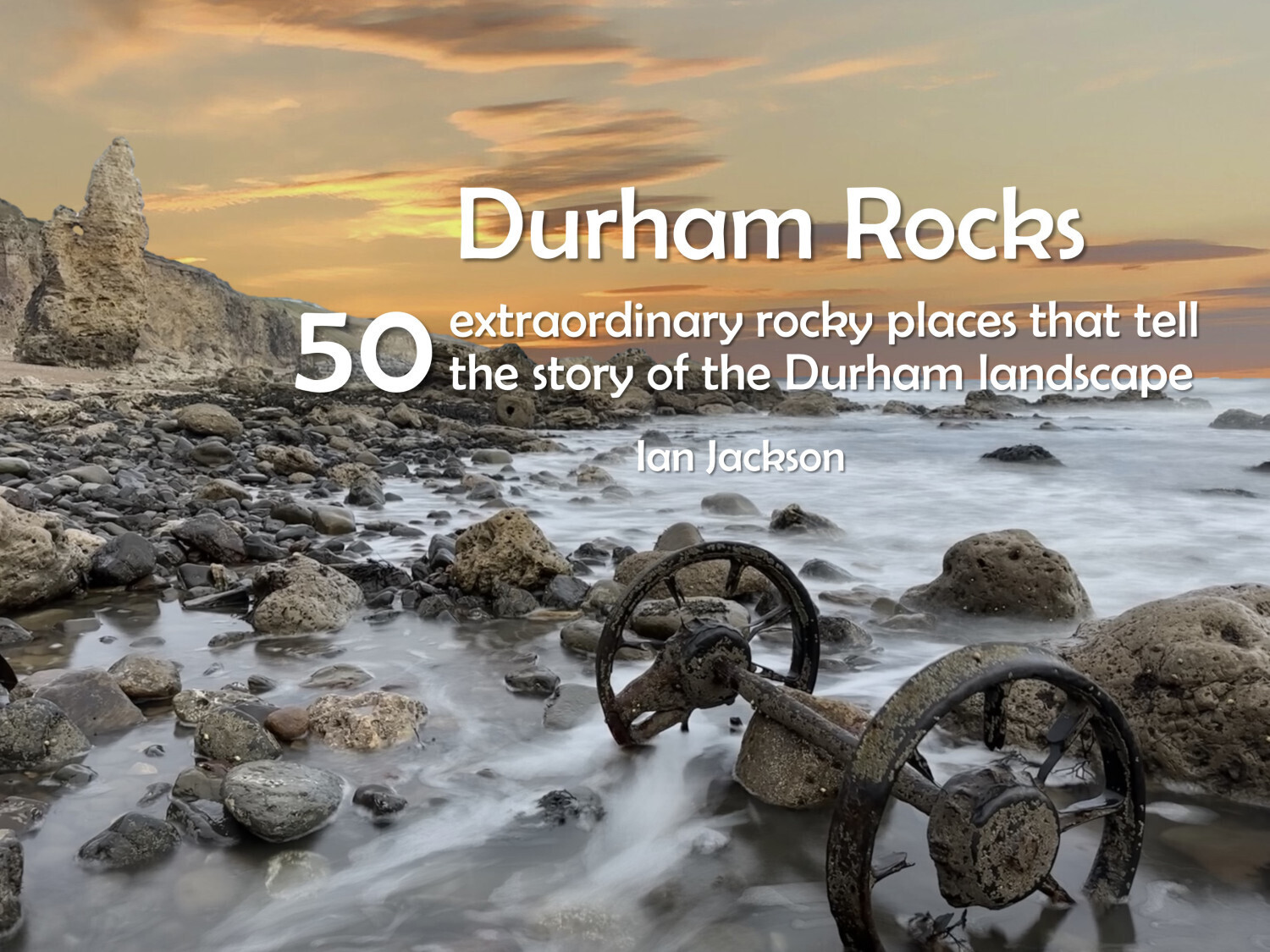
Durham Rocks - 50 extraordinary rocky places that tell the story of the Durham landscape by Ian Jackson
This is not a typical geology book, it’s a picture book with stories about 50 special rocky places that have tales to tell about how Durham came to be.
If you are curious about Durham’s unique landscapes, its heritage of mining and quarrying and how rocks have influenced its wildlife, history
and culture, then this book is for you. Over 100 full-colour photographs and straightforward explanations reveal the role that rocks play in our
environment and lives – past, present and future.
The 50 sites stretch from Tyne to Tees and from 470 million years ago to the present day. The book will take you to places you will not know and let you into secrets about places you thought you knew. Use it as your inspiration for walks to explore a diverse and beautiful landscape and understand why it is as it is.
This book uses the latest scientific research to make sense of Durham’s landscape. But it also explains why geology is relevant to our lives today, from water, mineral and energy resources to pollution, coastal erosion and flooding. You will never look at your landscape in the same way again.
The region covered by this book includes the County of Durham, Darlington, Gateshead, Hartlepool, South Tyneside, Stockton-on-Tees and Sunderland. It also includes parts of the North Pennines Area of Outstanding Natural Beauty, a UNESCO Global GeoPark and the Durham Heritage Coast.
This book is a partnership production between Durham Wildlife Trust and Northern Heritage Services.


